SOURCE: Stanford University EARTH
DATE: November 26, 2018
SNIP: 46 years of satellite imagery show the Peace-Athabasca Delta has been drying since the 1970s, significantly reducing muskrat habitat.
“The ecological impacts are not limited to muskrat – they extend far beyond that,” said lead author Ellen Ward, a doctoral candidate in Stanford’s School of Earth, Energy & Environmental Sciences (Stanford Earth). “These results suggest that maybe the widespread continental‑scale decline in this animal is actually being driven by a large‑scale loss in wetland and aquatic habitat.”
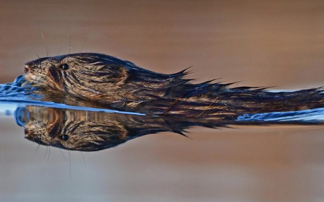
Located in northeast Alberta, the Peace-Athabasca Delta is a Ramsar Wetland of International Importance and North America’s largest inland freshwater delta. The area comprises habitat for about 200 bird species as well as the threatened wood bison, which is among the largest land animals on the continent. The semi-aquatic muskrat is native to North America and an important ecological indicator since the species is highly sensitive to changing hydrologic conditions.
The researchers constructed maps of the 46-year record of surface water with Landsat satellite imagery from 1972 to 2017. Those images revealed that suitable muskrat habitat dwindled by 32 percent over a time when muskrat numbers also plummeted.
Muskrat serve as a convenient indicator for habitat loss because they construct easily counted “houses” for shelter. They rely on vegetation for food and to build their dwellings in lakes, small ponds, streams, rivers and wetlands – and within the delta, they reside in the areas that are most susceptible to drying out.
If it continues, the decline of muskrat in the region will have impacts throughout the food chain, as muskrat are prey to many animals, including lynx, fox and mink.