SOURCE: Grist
DATE: February 14, 2020
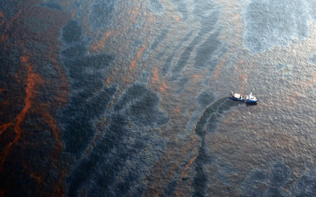
SNIP: After the Deepwater Horizon explosion in the spring of 2010, oil poured into the Gulf of Mexico for nearly three months straight, resulting in the worst offshore oil spill in U.S. history. More than 200 million gallons of light crude flowed into the sea, devastating marine life and fisheries.
Ten years later, scientists are still uncovering new facets of the disaster and its aftermath. A study published Wednesday from researchers at the University of Miami found that fisheries closed by federal and state agencies after the spill only accounted for about 70 percent of the actual extent of the toxicity that emanated from the drilling platform. The closures were based on satellite images of so-called surface slick — the visible oil on the surface of the water. This metric was ultimately not sensitive enough to capture lower concentrations of oil that nevertheless were still harmful to animals.
Igal Berenshtein, a postdoctoral fellow at the University of Miami and lead author of the new study, said he originally set out to look at the effect of fishery closures on communities in the Gulf. One of the first things he did was run a model that his advisor, Claire Paris-Limouzy, developed that mapped where oil would have travelled after the spill, based on the specific conditions in the Gulf at the time. When he compared that map to the fishery closures, the results were intriguing: The model showed that oil likely traveled well beyond the bounds of the fishery closures.
After the spill, as oil floated around in the Gulf, it was exposed to ultraviolet radiation from the sun. When UV light interacts with the hydrocarbons in oil, it can produce new chemical compounds that can be more dangerous than the oil itself — especially to fish larvae and other young creatures. When the authors took this effect into account, they found that the oil concentration capable of killing many Gulf species is lower than what satellites can detect.